Useful project information depends on a clear delivery. Orbital prepares client-supplied raster, vector, drawing and surface data so that it can move into drawing, GIS, reporting or review workflows without unnecessary rework.
Mapping and data preparation
- GIS-ready datasets with structured spatial features and project coordinates.
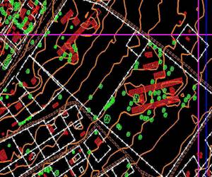
- CAD editing and preparation for existing detail, contours and client-supplied drawings.
- Image and feature digitising from controlled photography and existing records.
- Raster and vector integration for maps that combine imagery, surfaces and linework.
- Plot-file preparation for common large-format workflows, with plotting up to A0 where required.
Delivery shaped around use
The useful format depends on what happens after handover. We can prepare PDFs for review, georeferenced imagery for spatial software, point and line data for CAD, and structured exports for ongoing project records.